
Join Marv Freedman and friends for this long and challenging 13-mile bushwack and trail hike to four high peaks. (*Note, hiking this entire route will take place only with trail and weather conditions permitting. If need be, the route will be shortened and may only include Balsam Mountain.) The pace of the hike will be moderate (about 1-1/2 mph moving speed, typically) with steep climbs, and short breaks. The overall time on the trail will depend on the route, which will be determined in the days before the hike.
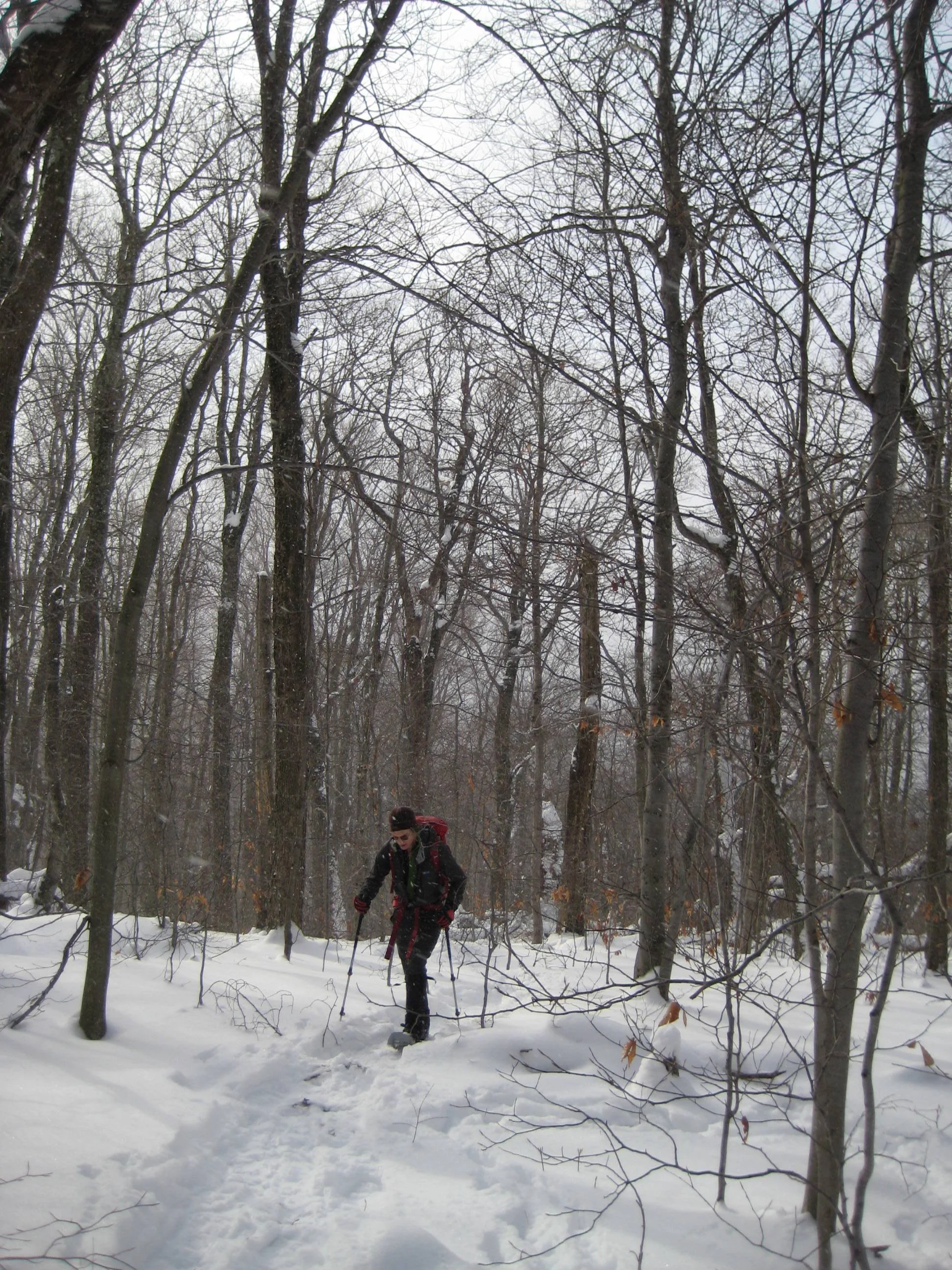
Hikers need to bring lunch/ food, water/ sports drink, snowshoes, traction aids (e.g. microspikes), warm layers of clothes, proper outerwear, winter boots, gaiters, poles, and a headlamp and batteries. This hike is limited to 12 people and registration is required by January 11. To register, contact Marv Freedman at marvfreedman@gmail.com Please include your cell number in your registration request. Dogs are permitted with the permission of the event leader. Note, meeting place and time, route details, and required gear are subject to change based on weather forecast, trail conditions, etc. Updated information will be provided via email, usually about two to four days before the hike. (See more info below.)
We will meet at the Rider Hollow Trailhead at 8:00 am.
Driving directions: To reach the Rider Hollow Trailhead from the east, take State Route 28 39 miles west from the traffic circle at Exit 19 (Kingston) of the NYS Thruway to Galli Curci Road at Highmount and turn left. (This is the same turn for the Belleayre Ski Center.) Proceed 4.95 miles on Galli Curci Road (Ulster Co. Hwy 49A) (becomes Todd Mtn. Rd.) and turn left onto Rider Hollow Road. Continue to the end of the road (2.1 mi.) to the trailhead.
From the west, take State Route 28 to Dry Brook Road (1.2 miles east of Margaretville) and turn right, following the signs for Dry Brook Ridge. Take Dry Brook Rd. 4.7 miles and turn left (following signs for Rider Hollow) onto Todd Mountain Road. Continue less than a half mile and turn right onto Rider Hollow Rd. Continue 2.1 miles to the end of the road/ trailhead.
GPS Coordinates for Rider Hollow Trailhead: 42.10201, -74.51694
Google Maps Link: https://maps.app.goo.gl/imXo6WHnQLoGd1iDA
More info
Bring:
• Headlamps with extra batteries
• Poles with snow baskets
• Warm, water resistant boots
• Gaiters
• Traction aides
• Snowshoes
• Extra mittens, liners, caps
• Survival gear/supplies (puffy, bivy, fire starting materials, extra food/water)
• Snow shovel, ice scraper, tow rope in car
• Change of boots/clothes in car
• Sleeping bag/blanket in car
Also from Marv:
• I can provide loaner gear. Tell me what you need.
• Set up Google offline mapping so you can head home without cell service.
• Well behaved dogs are generally welcome, with my permission. Please request my permission before bringing a dog. My standards for what constitutes a "well behaved" dog are pretty high. Please tell me if you're uncomfortable hiking with dogs.