
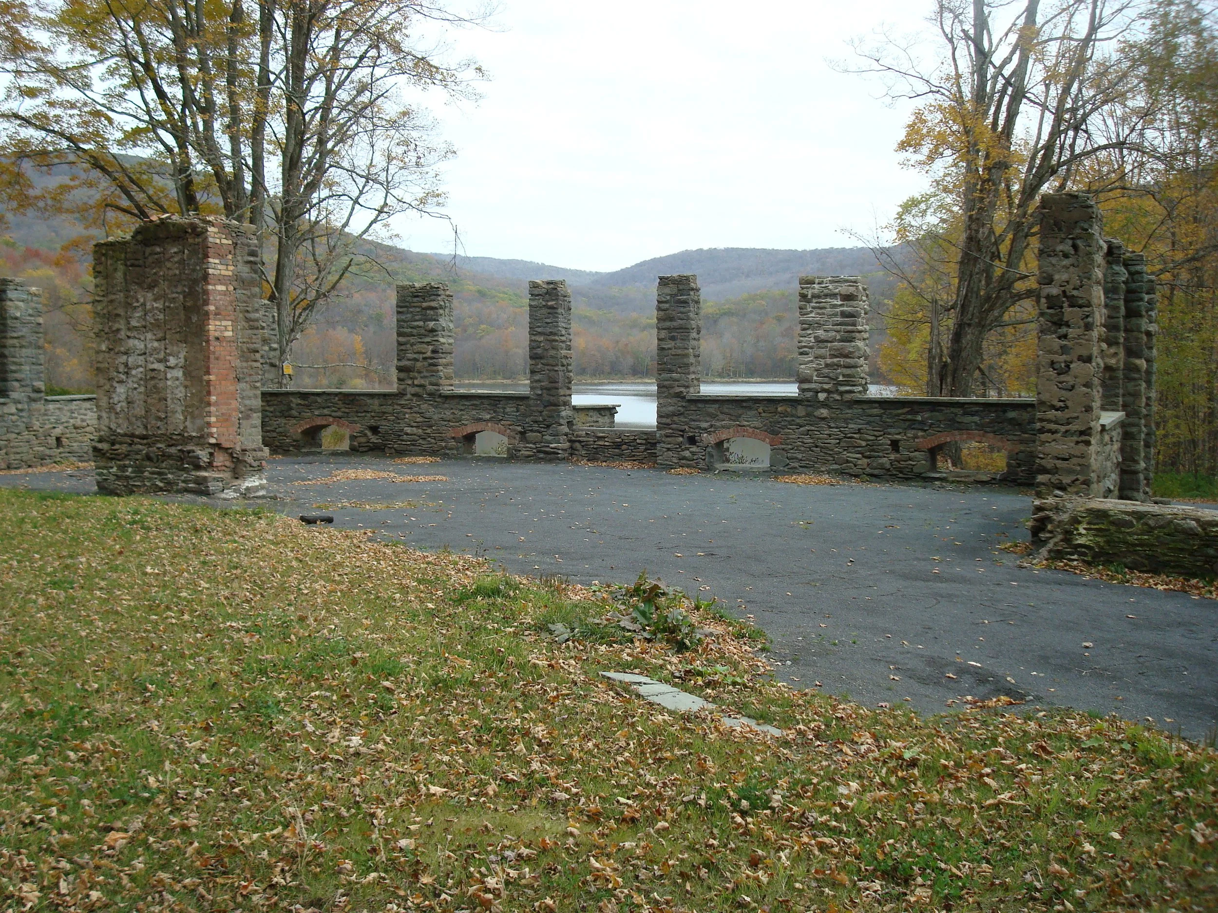
Enjoy this one-way hike up to the fire tower, along the scenic ridge, and out to Alder Lake. At just over 10 miles and with an expected duration of nine hours, this outing is rated as difficult. Both Balsam Lake Mountain
Participants need to bring lunch/ snacks, water/drink, rain gear, sturdy hiking shoes, insect repellent, sunscreen, an extra layer of warm clothes, and hiking poles (optional). The event is limited to 12 people and registration is required by October 17. To register, contact Al Purdy at Albertpurdy1@aol.com or (845) 514-0919. Please note that dogs are not permitted on this hike. Severe weather will postpone the hike.
Directions: From NYS Thruway Exit 19 at Kingston, take State Route 28 west to 45.5 miles past Margaretville. Less than 2 miles past Margaretville, turn left and a quick right onto BWS Road No. 10 and continue for 8.3 miles. Turn left onto Barkaboom Road (toward Big Pond and Little Pond) and continue 6.2 miles to the stop sign. Turn left onto Beaverkill road for 1.4 miles; then turn left onto Alder Road for 2.2 miles. Turn right onto cross mountain road for 100 ft. and follow the dirt road to the parking area for Alder Lake.
From Route 28 North, go south to Andes, make a right and then bear left onto Delaware County Highway 1 (following signs for Shavertown). Reach the stop sign at just under 8 miles, turn right, go over the reservoir bridge, and turn left onto BWS Road No. 8. At 1.9 miles stay to the right and from this point continue 6.2 miles to the stop sign. Turn left onto Beaverkill road for 1.4 miles; then turn left onto Alder Road for 2.2 miles. Turn right onto cross mountain road for 100 ft. and follow the dirt road to the parking area for Alder Lake.
GPS Coordinates to Alder Lake Parking Area: 42.04977, - 74.68283
Google Map Links to Alder Lake Parking Area: https://maps.app.goo.gl/xcRSQXGqsxRPtvCv6