
Here’s an outing to a less visited part of the Catskills. Depending on conditions near access points, the route of the hike may change, and the distance and time of the hike will range from 4.5 to 8.7 miles and 4-to-7 hours, depending on these conditions. The minimum ascent is 1200’.
Hikers need to bring water/ sports drink, lunch/ snacks, sturdy water-resistant boots, proper winter/ layered clothing, snowshoes, microspikes, gaiters, and hiking poles.
The event is limited to 12 people and registration is required by February 26. To register, contact event leader Marv Freedman at marvfreedman@gmail.com Please include your cell number in your registration request. Dogs are permitted only with the permission of the event leader.
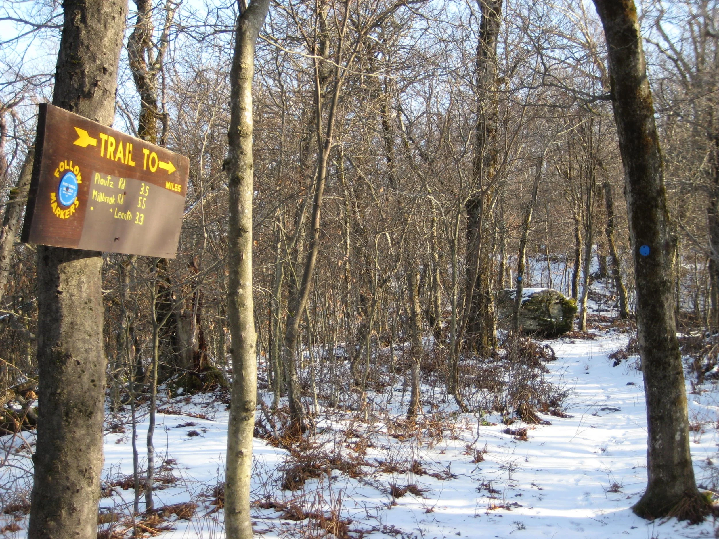
We will intend to meet at the Ploutz Road Trailhead at 8am. If conditions do not permit access to this point, we will begin from the Dry Brook Ridge Parking Area on Mill Brook Road. Note, meeting place and time, route details, and required gear are subject to change based on weather forecast, trail conditions, etc. Updated information will be provided via email, usually about two to four days before the hike. (See more info below.)
Directions to the Ploutz Road Trailhead: Follow the directions for the Dry Brook Ridge Parking Area on Mill Brook Road (below). Upon reaching the Dry Brook Ridge Parking Area, continue 3.1 miles on Mill Brook Road to Ploutz Road on the right. Turn onto Ploutz and continue 1.25 miles (single lane after house) to the small parking area near the top of the hill on the right.
GPS Coordinates to Ploutz Road Trailhead: 42.093996, -74.6203738
Google Maps link to Ploutz Road Trailhead: https://maps.app.goo.gl/zgiEjDFZKc4gg6136
Directions to the Dry Brook Ridge Parking Area on Mill Brook Road: The Dry Brook Ridge Parking Area on Millbrook Road is reached from Route 28 in Arkville. Turn from Route 28 onto Dry Brook Road (see brown-and-white directional signs) and continue just over six miles to Millbrook Road. Turn right and continue on Millbrook Road for just over two miles and the trailhead parking will be on your right.
GPS Coordinates to Dry Brook Ridge Parking Area on Millbrook Road: 42.070237, -74.573871
Google Maps Link to Dry Brook Ridge Parking Area on Millbrook Road: https://maps.app.goo.gl/Lcr6qGuExqZziPjw5
More info
Bring:
• Headlamps with extra batteries
• Poles with snow baskets
• Warm, water resistant boots
• Gaiters
• Traction aides
• Snowshoes
• Extra mittens, liners, caps
• Survival gear/supplies (puffy, bivy, fire starting materials, extra food/water)
• Snow shovel, ice scraper, tow rope in car
• Change of boots/clothes in car
• Sleeping bag/blanket in car
Also from Marv:
• I can provide loaner gear. Tell me what you need.
• Set up Google offline mapping so you can head home without cell service.
• Well behaved dogs are generally welcome, with my permission. Please request my permission before bringing a dog. My standards for what constitutes a "well behaved" dog are pretty high. Please tell me if you're uncomfortable hiking with dogs.