
D. Felicetta
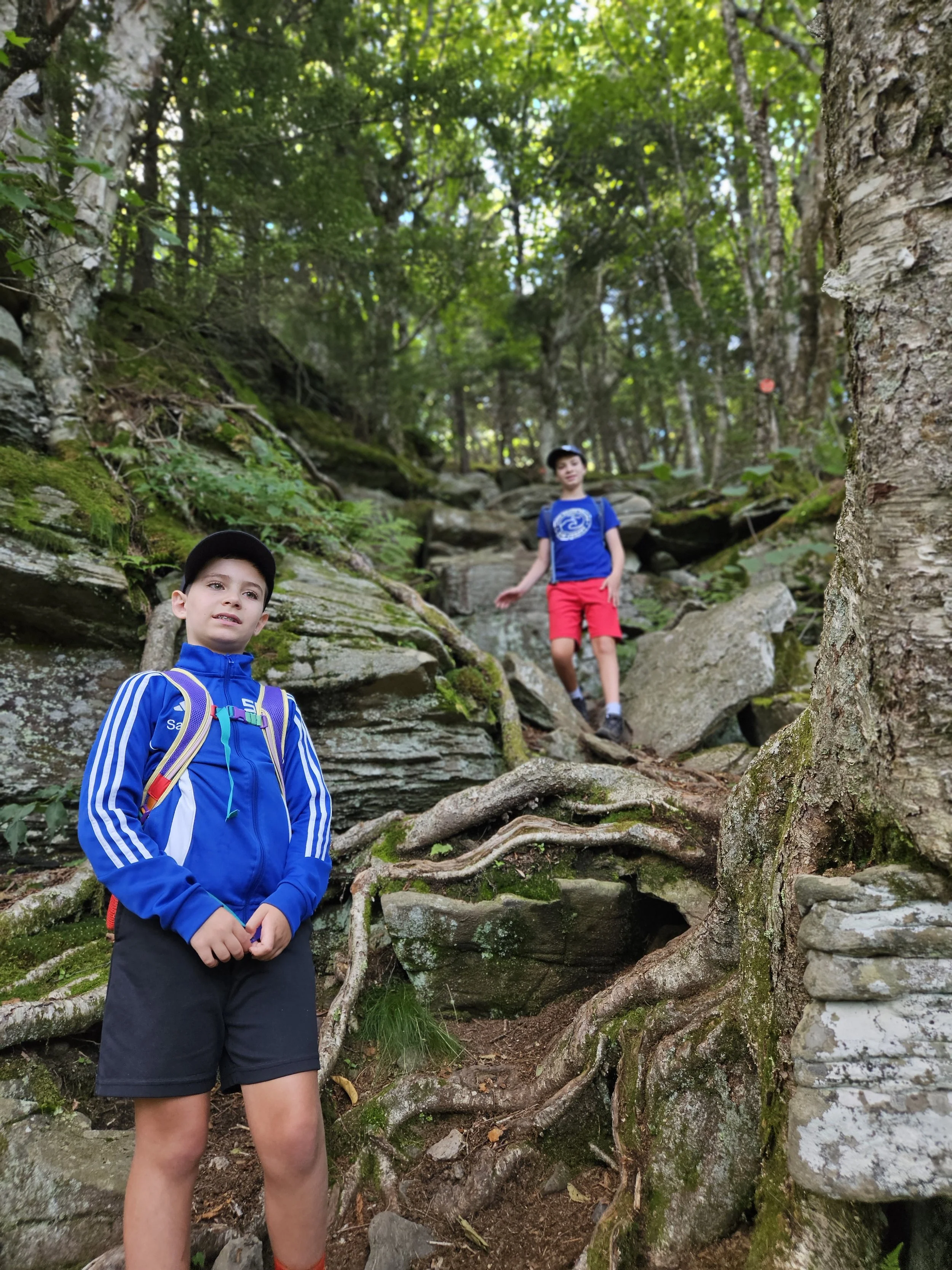
This route begins at the Prediger Road Parking Area, traverses these four high peaks and concludes at Notch Lake. Rated as difficult and recommended for advanced hikers, this route will cover more than 13 miles, include 4830’ in elevation gain, and last upwards of 11 hours.
The day's pace will be moderate (about 1-1/2 mph moving pace) with short breaks. We won’t stop for a long lunch break. Hikers need to bring plenty of water/ sports drink, lunch/ snacks, sturdy water-resistant boots, extra clothing; rain gear, sunscreen, insect repellent, hiking poles, a headlamp and batteries.
The event is limited to 12 people and registration is required by June 13. To register, contact event leader Marv Freedman at marvfreedman@gmail.com Please include your cell number in your registration request. Dogs are permitted only with the permission of the event leader. Note: meeting place and time, route details, and required gear are subject to change based on weather forecast, trail conditions, etc. Updated information will be provided via email, usually about two to four days before the hike.
We will meet at Notch Lake parking area in time to sign in, transfer gear, and begin our shuttle at 8 am. (Note, a parking fee at Notch Lake may apply.)
Driving directions: From State Route 28 at Phoenicia take State Route 214 north for 9.5 miles and the Notch Lake Parking Area is on the left.
From State Route 23-A, turn south onto State Route 214 for 2.85 miles and the Notch Lake Parking Area is on the right.
GPS Coordinates: 42.15939 - 74.20349
Google Maps Link: https://maps.app.goo.gl/RFC8rTyvXifKqWXRA