
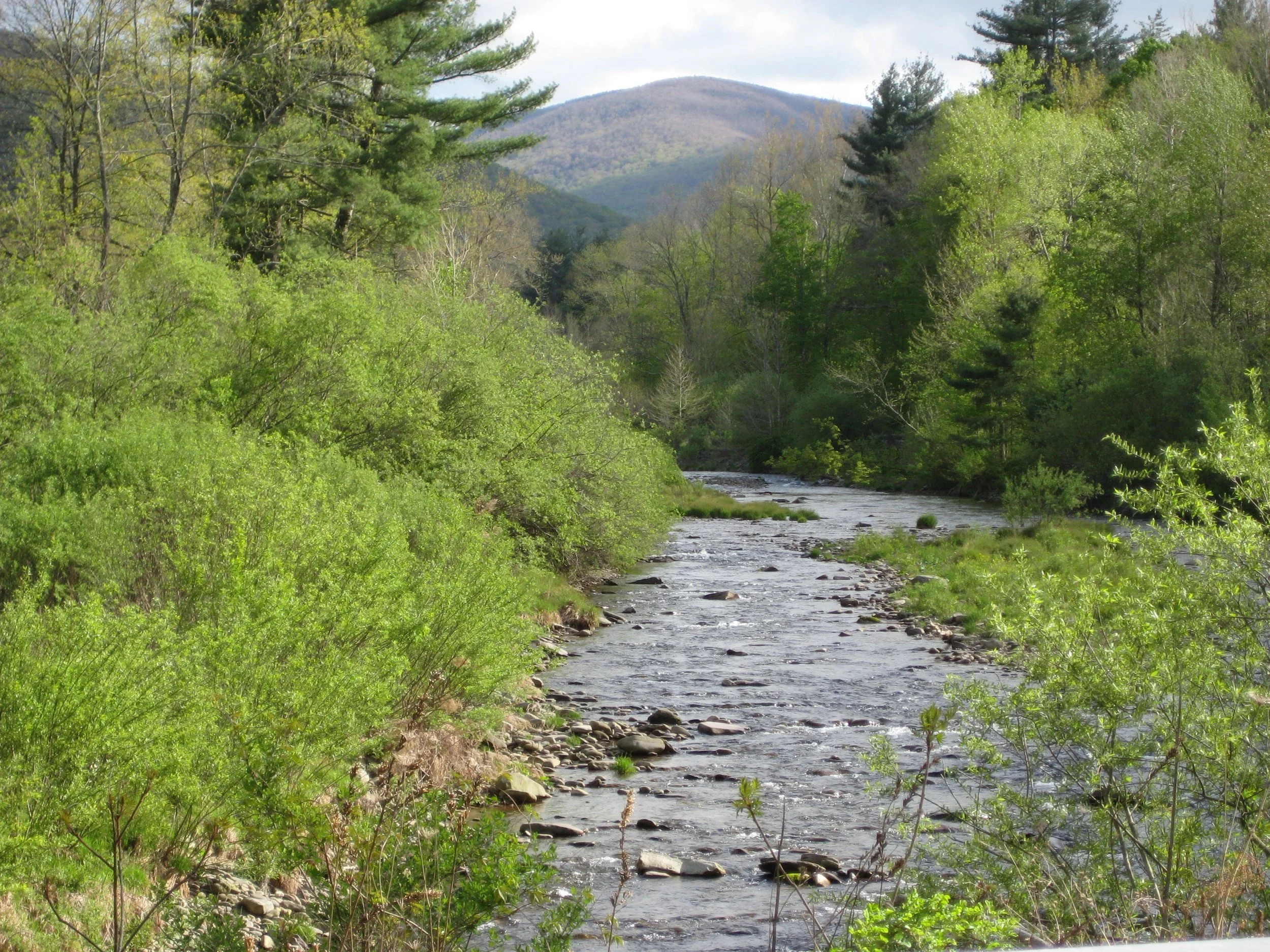
Join Marv Freedman and friends for this long and challenging 13-mile bushwack and trail hike to four high peaks, with more than 4000’ of elevation gain. The pace of the hike will be moderate (about 1-1/2 mph moving speed, typically) with steep climbs, and short breaks. Rating: Difficult. Duration: About ten hours.
Hikers need to bring lunch/ food, water/ sports drink,insect repellent, sunscreen, layers of clothes, rain gear, hiking poles, a headlamp, and batteries. This hike is limited to 12 people and registration is required by May 9. To register, contact Marv Freedman at marvfreedman@gmail.com Please include your cell number in your registration request. Dogs are permitted with the permission of the event leader. Note, meeting place and time, route details, and required gear are subject to change based on weather forecast, trail conditions, etc. Updated information will be provided via email, usually about two to four days before the hike.
We will meet at the McKenley Hollow trailhed, off of OlIverea Road, in time to sign in, transfer gear, and begin our shuttle by 8 am.
GPS Coordinates for McKenley Hollow Trailhead: 42.0704945, -74.474100
Google Maps link for McKenley Hollow Trailhead: https://maps.app.goo.gl/vUf8BegS1Ltw5VJ48
Driving directions: McKenley Hollow Trailhead is reached from State Route 28 in Big Indian. Turn south onto Ulster County Highway 47 and go almost three miles. Turn right onto McKenley Hollow Road and continue almost a mile to the trailhead.
Additional Information: Meeting place and time, route details, and required gear are subject to change based on weather forecast, trail conditions, etc. Updated information will be provided via email, usually about four days before the hike.