
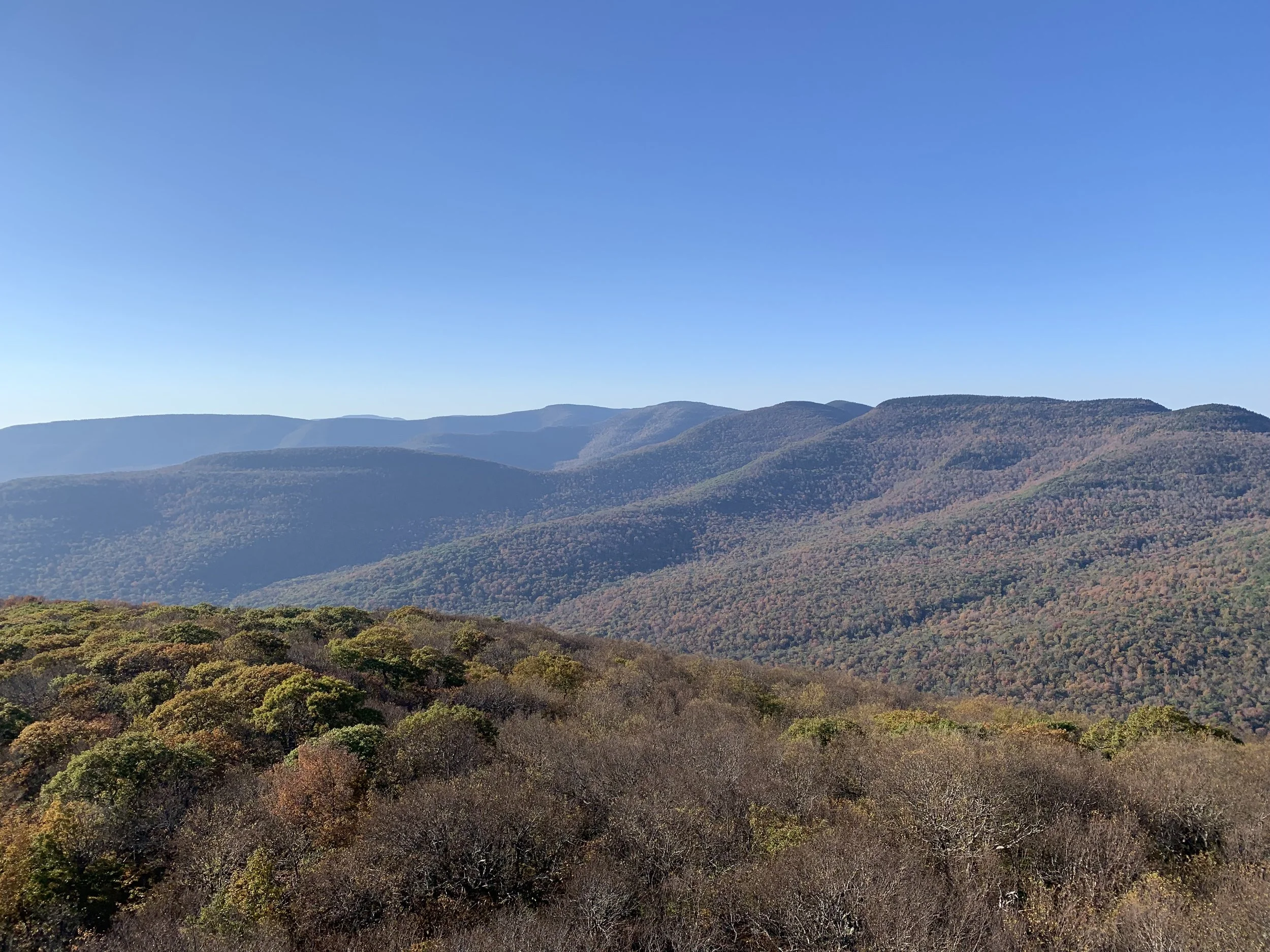
Here’s a challenging 11-miler along the eastern Devil’s Path with great views and fun scrambles. With over 4000' of elevation gain, this challenging hike is rated as difficult and is expected to take about seven hours.
Hikers need to bring water/sports drink (2+ liters recommended), snacks (we will not stop for a long lunch), insect repellent, sunscreen, sunglasses, sturdy/water resistant hiking shoes, hiking poles (recommended), and a headlamp (we should finish well before dark, but need to be prepared in case we're delayed). This hike is limited to 12 people, and registration is required. To register, contact Marv Freedman at marvfreedman@gmail.com by October 15. Please include your cell number in your registration request. Dogs are permitted with the permission of the event leader.
Updated information will be provided via email, usually about two to four days before the hike.
We will meet at the Notch Lake parking area on State Route 214, ready to shuttle, no later than 8:00 am.
Directions:
From State Route 28 turn north at Phoenicia following the signs for 214. Proceed north on 214 for 9.25 miles and the parking area is on the left after the Devil’s Tombstone Campground.
From State Route 23A (between Hunter and Tannersville), turn south onto 214 and proceed 2.8 miles and the parking area is on the right.
GPS Coordinates: 42.15969, -74.20325
Google Maps Link: https://maps.app.goo.gl/6MucXZw3p6SB6Spa6