
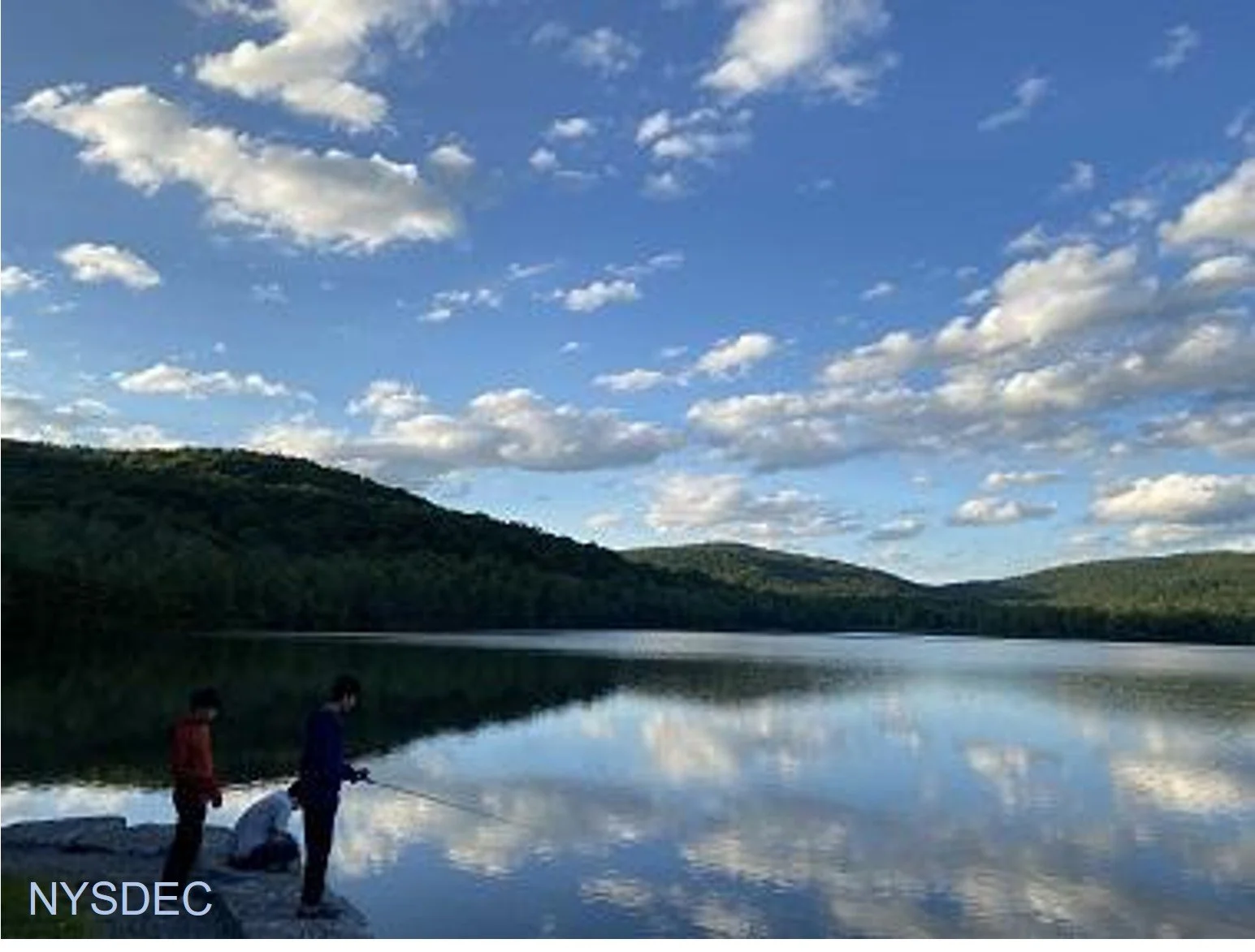
Join Al Purdy for this All-Trails outing that will include the Hardenburgh Trail, the Long Pond-Beaverkill Ridge Trail, and the Mongaup-Willowemoc Trail. Beginning at Mongaup Pond and rated as difficult, this clockwise route will cover ten miles and last about eight hours.
Participants need to bring lunch/ snacks, water/ sports drink, insect and sun protection, head lamp, proper rain gear, layers, sturdy hiking shoes, and poles (recommended). This hike is limited to 12 people, and registration is required. To register, contact Al Purdy at Albertpurdy1@aol.com or (845) 514-0919 by September 18. Please note, dogs are not permitted on this hike. Additional notes: Mongaup Campground closes the first week in September, so there most likely won't be a fee to park. Poor weather conditions will postpone the hike.
We will meet at 9am at Monguaup Pond main/ beach parking lot. Directions: From NYS Thruway Exit 19/ Kingston, turn right onto Route 28 for 30.4 miles. Turn left onto County Highway 47 in Big Indian and proceed 19.3 miles. Turn sharp right onto Pole Road (also becomes Willowemoc Road and known as Pond Rd.) and go 9.4 miles. Turn right onto Mongaup Road and proceed 3.9 miles, passing the gate and parking in the main/ beach parking lot.
From NYS Route 17 westbound, take exit 96W and turn left onto DeBruce Road. Continue on DeBruce Road 5.6 miles to Mongaup Road. Turn left onto Mongaup Road and proceed 3.9 miles, passing the gate and parking in the main/ beach parking lot.
From NYS Route 17 eastbound, take exit 96E and turn right at the end of the exit. Proceed .1 mile to stop sign, turn left, then take the next left onto DeBruce Rd. You will soon see a "red caboose" on left. Continue on DeBruce Road 5.6 miles to Mongaup Road. Turn left onto Mongaup Road and proceed 3.9 miles, passing the gate and parking in the main/ beach parking lot.
GPS coordinates of meeting location: 41.95829, -74.69113
Google Maps link: https://maps.app.goo.gl/hV8Sjuciv3RFLpai7