
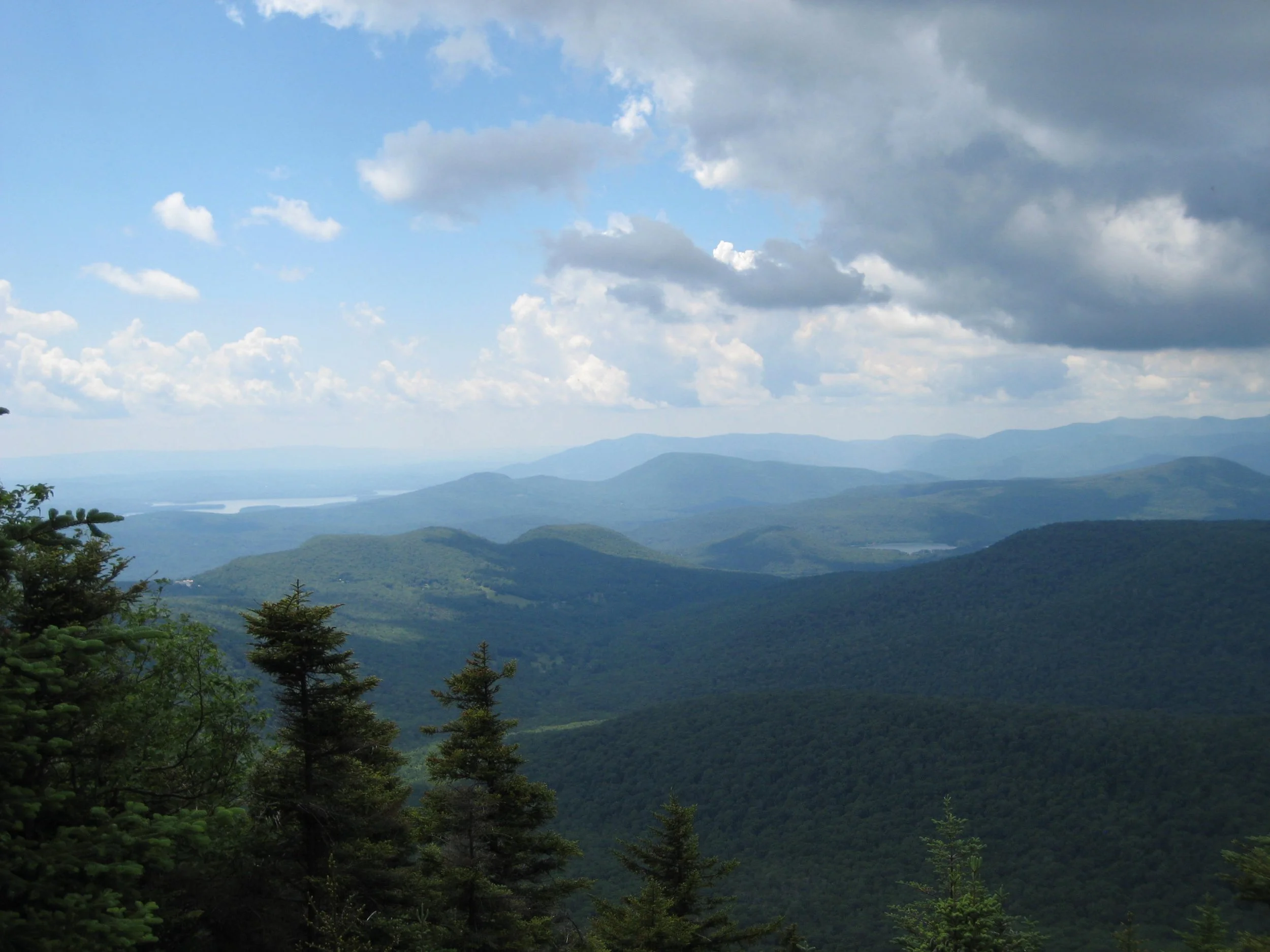
Here’s a challenging ten-mile hike along the eastern Devil’s Path with excellent views and fun scrambles. With 4300' of elevation gain, this outing is rated as difficult and is expected to take about seven hours. We will hike at a pace of approx. 1.5 mph.
Hikers need to bring water/sports drink (2+ liters recommended), snacks (we will not stop for a long lunch), insect repellent, sunscreen, sunglasses, sturdy/water-resistant hiking shoes, hiking poles (recommended), and a headlamp (we should finish well before dark, but need to be prepared in case we're delayed). This hike is limited to 12 people, and registration is required. To register, contact Marv Freedman at marvfreedman@gmail.com by September 20. Please include your cell number in your registration request. Dogs are permitted with the permission of the event leader. Updated information will be provided via email, usually about two to four days before the hike.
Meet, ready to shuttle, no later than 8am, at the Prediger Trailhead, off of Platte Clove Rd. This is where our hike will end. We'll leave most cars there and will caravan to the end of Mink Hollow Rd to start our hike.
Google Maps Link: https://maps.app.goo.gl/vHJdQzeqL3cMtZSdA
GPS Coordinates: 42.1340112, -74.104360
Directions to Prediger Road Trailhead: To reach the trailhead from State Route 23A east in Tannersville, bear left on South Main St., stay left on Spruce (becomes Platte Clove Rd.) and at 1.5 miles stay left on Platte Clove Road and continue another 4.2 miles. Turn right on Prediger Road, following the signs for forest preserve parking near the end of the road.
From Route 23A west, take a right on Bloomer Road (.6 miles after the 23A/ 214 jnctn). Just after a mile stay to the right at the yield signs and onto Platte Clove Road (Co. Hwy. 16). Continue 4.3 miles and turn right on Prediger Road, following the signs for forest preserve parking near the end of the road.
The Prediger Road Trailhead can also be reached from State Route 212. From the NYS Thruway Exit 20/ Saugerties, take 212 west about 2.2 miles, turn right onto Blue Mountain Road, continue 1.4 miles and bear left onto West Saugerties Road (becomes Platte Clove Road); continue for 5.25 miles up steep grade to Prediger Rd. Follow the signs for forest preserve parking near the end of the road.