
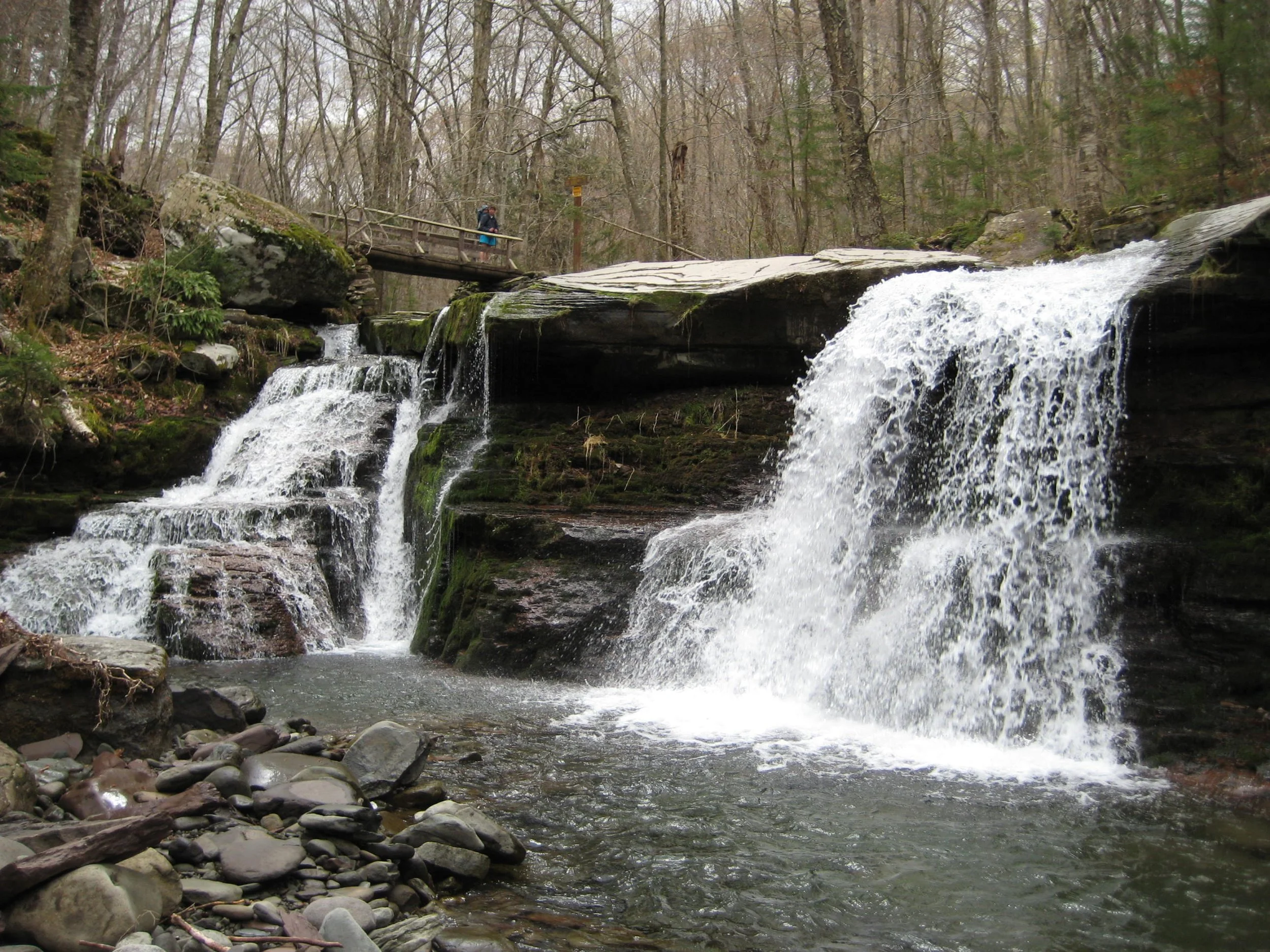
This one-way hike will visit St. Anne's Peak, West Kill Mountain (with Buck Ridge Lookout), and Diamond Notch Falls. This route will cover seven miles of the Devil’s Path and part of the Diamond Notch Trail. Rated as difficult, this eight-mile outing is expected to take about six hours.
Participants need to bring lunch/ snacks, water/ drink, rain gear, insect and sun protection, headlamp, and hiking poles (optional). Hikers must register by July 3. To register, contact Al Purdy at Albertpurdy1@aol.com or (845) 514-0919. Please note, this hike is limited to 12 people and dogs are not permitted.
Directions: We’ll meet at the Diamond Notch Parking Lot at 8:00 am. (We will then shuttle to the Devil’s Path Parking Lot, about three miles.)
From NYS Thruway Exit 19 (Kingston) merge onto NY 28 west for 27.6 miles. Then take State Route 42 north for 7.3 miles then turn right on County Hwy 6 (Spruceton Road) in West Kill and take this road 6.8 miles to the Diamond Notch Parking Lot on the right. (This is the last parking lot before the end of the road; do not park at the end of the road.)
From State Route 23A at Lexington, take State Route 42 south for 4.1 miles then turn left on County Hwy 6 (Spruceton Road) in West Kill and take this road 6.8 miles to the Diamond Notch Parking Lot on the right. (This is the last parking lot before the end of the road; do not park at the end of the road.)
GPS Coordinates: 42.182240 - 74.26955
Google Maps Coordinates: https://maps.app.goo.gl/3FQ4kZEAjqQ48Gt4A