
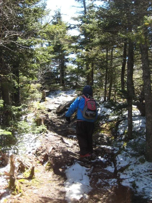
Join Marv Freedman and friends for a trip along the famed Burroughs Range, with its challenging climbs, spectacular views, and a cave. With a distance of ten miles and an elevation gain of 3700’, this outing is rated as difficult. The pace of the hike will be moderate (about 1-1/2 mph moving speed, typically) with steep climbs, and short breaks. The overall time on the trail is expected to be eight hours. Hikers need to bring lunch/ food, water/ sports drink, snowshoes, traction aids (e.g. microspikes), warm layers of clothes, proper outerwear, winter boots, gaiters, poles, and a headlamp (just in case).
This hike is limited to 12 people and registration is required by February 7. To register, contact Marv Freedman at marvfreedman@gmail.com Please include your cell number in your registration request. Dogs are permitted with the permission of the event leader. Note, meeting place and time, route details, and required gear are subject to change based on weather forecast, trail conditions, etc. Updated information will be provided via email, usually about two to four days before the hike. (More info below.)
We will meet at Woodland Valley Parking Area, in time to begin shuttle to the Slide trailhead by 8:00 am.
Driving Directions: Woodland Valley Road is located off State Route 28, one half mile west of Phoenicia and marked with brown-and-white wayfinding signs. After turning on Woodland Valley Road and crossing the bridge, turn right, then stay to the left and follow Woodland Valley Road for 4.75 miles to the Woodland Valley Campground Day Use Lot (before the campground entrance) on the right.
GPS Coordinates to Woodland Valley Parking Area: 42.036355, -74.358011
Google Maps link: https://maps.app.goo.gl/EFEXhemY9mqj5ffk7
More info
Bring:
• Headlamps with extra batteries
• Poles with snow baskets
• Warm, water resistant boots
• Gaiters
• Traction aides
• Snowshoes
• Extra mittens, liners, caps
• Survival gear/supplies (puffy, bivy, fire starting materials, extra food/water)
• Snow shovel, ice scraper, tow rope in car
• Change of boots/clothes in car
• Sleeping bag/blanket in car
Also from Marv:
• I can provide loaner gear. Tell me what you need.
• Set up Google offline mapping so you can head home without cell service.
• Well behaved dogs are generally welcome, with my permission. Please request my permission before bringing a dog. My standards for what constitutes a "well behaved" dog are pretty high. Please tell me if you're uncomfortable hiking with dogs.