
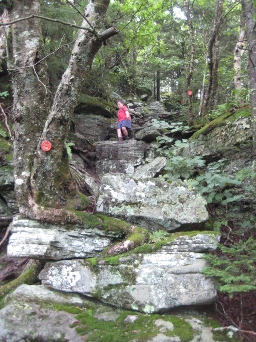
We’ll tackle this high peak via the Pecoy Notch and Mink Hollow Trails, along with the section of the Devil’s Path that traverses the summit. This is a rugged seven-mile hike, ranked as moderate-difficult with about 1700’ in elevation gain. Hikers joining this outing need to bring lunch/ snacks, plenty of water/ sports drink, sun and insect protection, rain gear, and hiking poles (recommended). The hike is expected to take about six hours. The pace of the hike will be moderate (about 1-1/2 mph moving speed, typically) with steep climbs, and short breaks.
This hike is limited to 12 people and registration is required. To register, contact Marv Freedman at marvfreedman@gmail.com by August 5. Please include your cell number in your registration request. Dogs are permitted with the permission of the event leader. Note, meeting place and time, route details, and required gear are subject to change based on weather forecast, trail conditions, etc. Updated information will be provided via email, usually about two to four days before the hike.
We’ll meet ready to hike at 8am at the Roaring Kill Trailhead.
Driving Directions to Roaring Kill Trailhead: To reach the trailhead from State Route 23A east in Tannersville, bear left on South Main St., stay left on Spruce (becomes Platte Clove Rd.) and at 1.5 miles stay left on Platte Clove Road and continue another 3.3 miles to Dale Lane. Turn right on Dale Lane and continue just over a mile to the trailhead which is on the left.
From Route 23A west, take a right on Bloomer Road (.6 miles after the 23A/ 214 jnctn). Just after a mile stay to the right at the yield signs and onto Platte Clove Road (Co. Hwy. 16). Continue 3.3 miles to Dale Lane. Turn right on Dale Lane and continue just over a mile to the trailhead which is on the left.
The Roaring Kill Trailhead can also be reached from State Route 212 between Woodstock and Saugerties. In Centerville, turn north onto Blue Mountain Road. In 1.5 miles turn left onto West Saugerties Road. From this intersection continue through the residential area and climb the steep mountain. At 6.25 miles turn left on Dale Lane and continue just over a mile to the trailhead which is on the left.
GPS Coordinates: 42.151117, -74.131064
Google Maps link: https://maps.app.goo.gl/mdycr6RJ2iGQrLBc7