
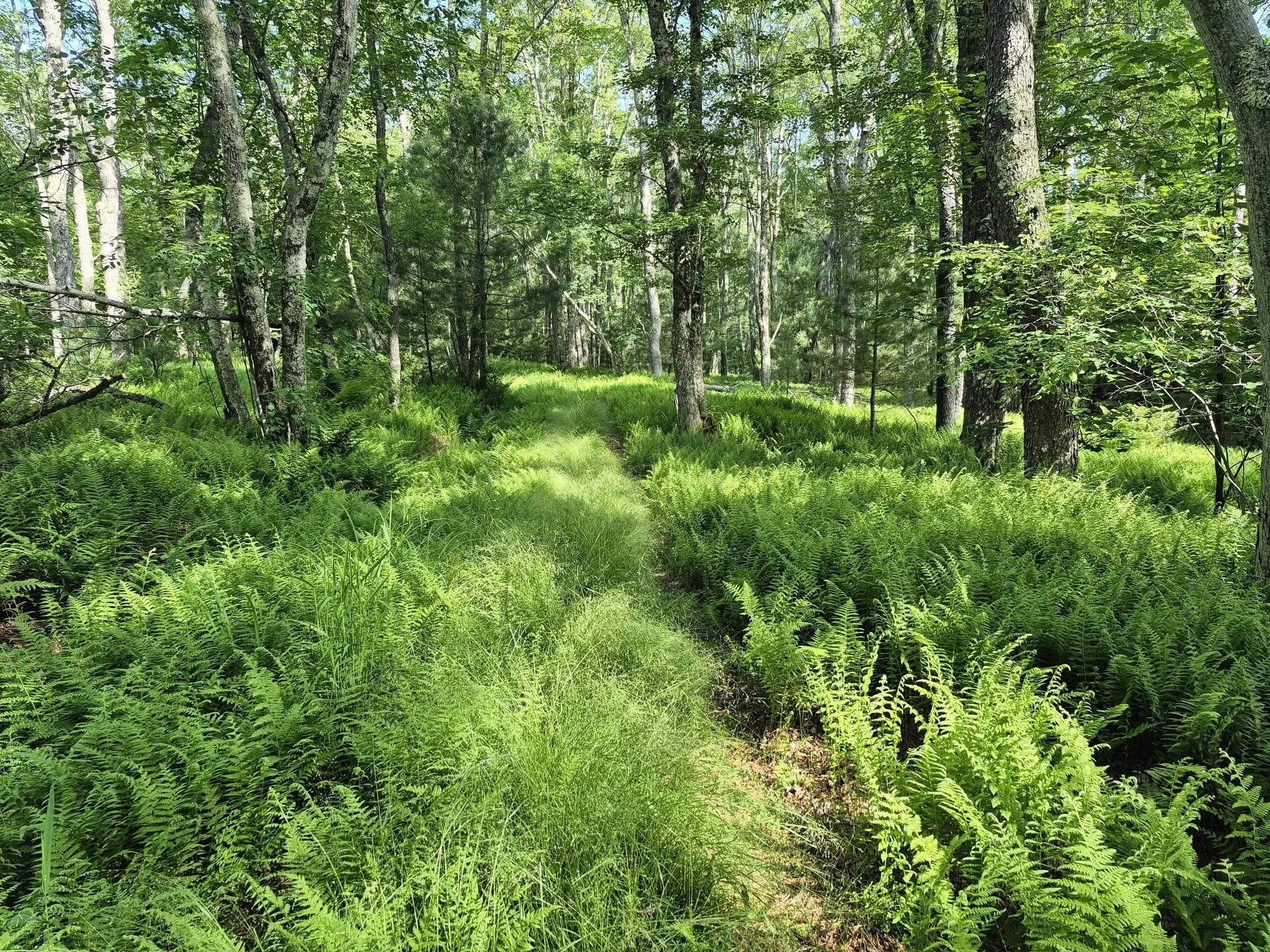
(A. Purdy)
Here’s a lengthy outing that may be of particular interest to those working to complete the Catskills All Trails Hiking Challenge. Led by Marv Freedman and rated as difficult, this 18-mile hike will cover these trails: Quick Lake west of Coyote Junction; Flynn; Loggers Loop; and Big Rock. The day’s pace will be moderate (about 1-1/2 mph moving pace) with short breaks. This hike is expected to take 12 hours. There will be a possible swim in Hodge Pond.
Participants need to bring lunch/ snacks, plenty of water (at least 1.5-2 liters), sports drink, sun and insect protection, hiking poles (recommended), sturdy hiking shoes, and a headlamp (with extra batteries). This hike is limited to 12 participants and registration is required. To register, contact hike leader Marv Freedman at marvfreedman@gmail.com by July 22. Please include your cell number in your registration request. Dogs are permitted with the permission of the event leader.
Directions:
We will meet at the Frick Pond Trailhead, ready to hike at 8am.
From NYS Route 17 westbound, take exit 96W and turn left onto DeBruce Road. Continue on DeBruce Road 5.6 miles to Mongaup Road. Turn left onto Mongaup Road and drive 2.7 miles to where the road splits. Stay left on Beech Mountain Road and drive .3 miles to the parking area on the left.
From NYS Route 17 eastbound, take exit 96E and turn right at the end of the exit. Proceed .1 mile to stop sign, turn left, then take the next left onto DeBruce Rd. You will soon see a "red caboose" on left. Continue on DeBruce Road 5.6 miles to Mongaup Road. Turn left onto Mongaup Road and drive 2.7 miles to where the road splits. Stay left on Beech Mountain Road and drive .3 miles to the parking area on the left.
From the NYS Thruway Exit 19 (Kingston) turn right onto Route 28 west, go one-half mile and turn right onto US 209 south. Take 209 south for 25 miles and turn right onto State Route 55 in Napanoch. Take 55 West for 16.1 miles and turn right onto Sullivan County Hwy 19 (Claryville Road). Go 2.7 miles and turn left onto Hunter Rd. Take Hunter Rd. for 5.5 miles and turn left onto Willowemoc Rd. Take Willowemoc Rd. for 3.6 miles and turn right onto Mongaup Rd. for 2.7 miles. Continue straight onto Beech mountain road 0.3 miles to the Frick Pond parking area.
GPS Coordinates to Frick Pond Trailhead (meeting location): 41.950925, -74.707165
Google Maps link: https://maps.app.goo.gl/iaCPDhZ2r9Eh5UXy6?g_st=ic
Additional Info: Meeting place and time, route details, and required gear are subject to change based on weather forecast, trail conditions, etc. Updated information will be provided via email, usually about four days before the hike.