
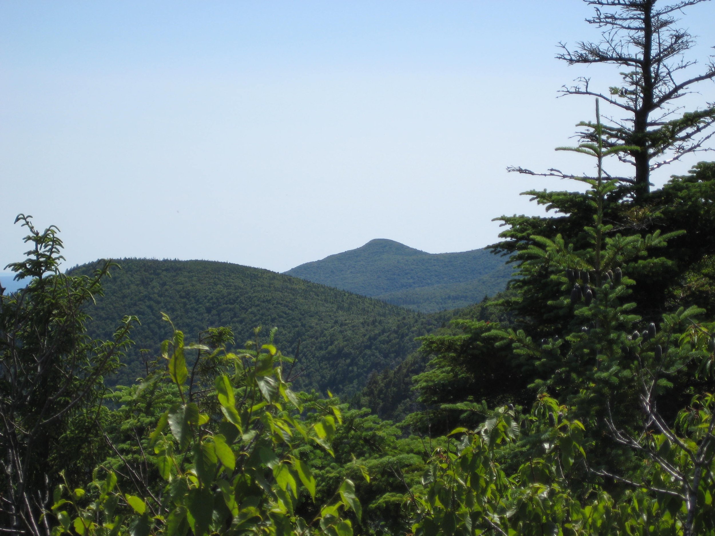
This challenging 12+ mile bushwhack and trail hike will traverse six peaks along the upper reaches of the East Branch of the Neversink Watershed. Expected to take about ten hours, this one-way hike is rated as difficult.
Participants need to bring lunch/ snacks, plenty of water/ sports drink, rain gear, insect repellent, sunscreen, hiking poles (recommended), and a headlamp (with extra batteries). The pace of the hike will be moderate (about 1-1/2 mph moving speed, typically) with steep climbs, and short breaks. This hike is limited to 12 participants and registration is required. To register, contact hike leader Marv Freedman at marvfreedman@gmail.com by July 11. Please include your cell number in your registration request. Dogs are permitted with the permission of the event leader. Note: meeting place and time, route details, and required gear are subject to change based on weather forecast, trail conditions, etc. Updated information will be provided via email, usually about two to four days before the hike.
Meet, ready to shuttle, no later than 8:00 am at the new Peekamoose Valley Riparian Corridor Parking Area on Peekamoose Rd. This is where our hike will end; we will shuttle from here to the beginning of the hike.
GPS Coordinates to Peekamoose Parking Area: 41.916840, -74.435834
Google Maps Link: https://maps.app.goo.gl/erGcCMej54RbHW196
Driving directions to the Peekamoose Valley Riparian Corridor Parking Area on Ulster County Hwy 42/ Peekamoose Rd. From State Route 28 in Boiceville, follow hiking signs and turn onto Route 28A. Go 3 miles on 28A and turn right in West Shokan. Drive about 10 miles west on Uls. Co. Hwy 42 (Watson Hollow Rd./ becomes Peekamoose Rd.) until you reach the new Peekamoose Valley Riparian Corridor Parking Area.