
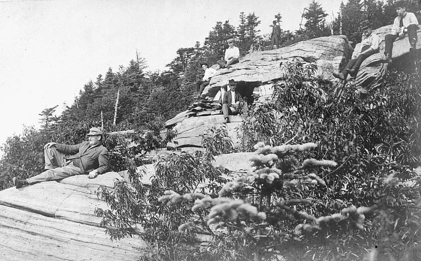
Join Marv Freedman and friends for a trip along the famed Burroughs Range, with its challenging climbs, spectacular views, and a cave. With a distance of ten miles and an elevation gain of 3700’, this outing is rated as difficult. The pace of the hike will be moderate (about 1-1/2 mph moving speed, typically) with steep climbs, and short breaks. The overall time on the trail is expected to be eight hours. Hikers need to bring lunch/ food, water/ sports drink, sturdy hiking shoes, clothing layers, rain gear, insect repellent, sunscreen, hiking poles are recommended, and a headlamp (just in case).
This hike is limited to 12 people and registration is required by May 2. To register, contact Marv Freedman at marvfreedman@gmail.com Please include your cell number in your registration request. Dogs are permitted with the permission of the event leader. Note, meeting place and time, route details, and required gear are subject to change based on weather forecast, trail conditions, etc. Updated information will be provided via email, usually about two to four days before the hike. (More info below.)
We will meet at the Slide Mountain Parking Area on Ulster County Highway 47 at 8am.
GPS Coordinates to the Slide Mountain Parking Area: 42.008650, -74.427621
Google Maps link: https://maps.app.goo.gl/bLJbBZjgrgLQoVQw9
Directions: From the north, take State Route 28 to County Hwy 47 and go 9.3 miles and the parking area will be on the left.
From the south, take State Route 55 to Sullivan County Hwy 19 (just west of Grahamsville). Proceed 4.6 miles to Claryville and turn left onto SulCo Hwy 157. Take this road (which becomes UlsCo Hwy 47) 11.4 miles and the parking area will be on the right.
Additional Information: Meeting place and time, route details, and required gear are subject to change based on weather forecast, trail conditions, etc. Updated information will be provided via email, usually about four days before the hike.