
East Wildcat Bushwhack | Postponed
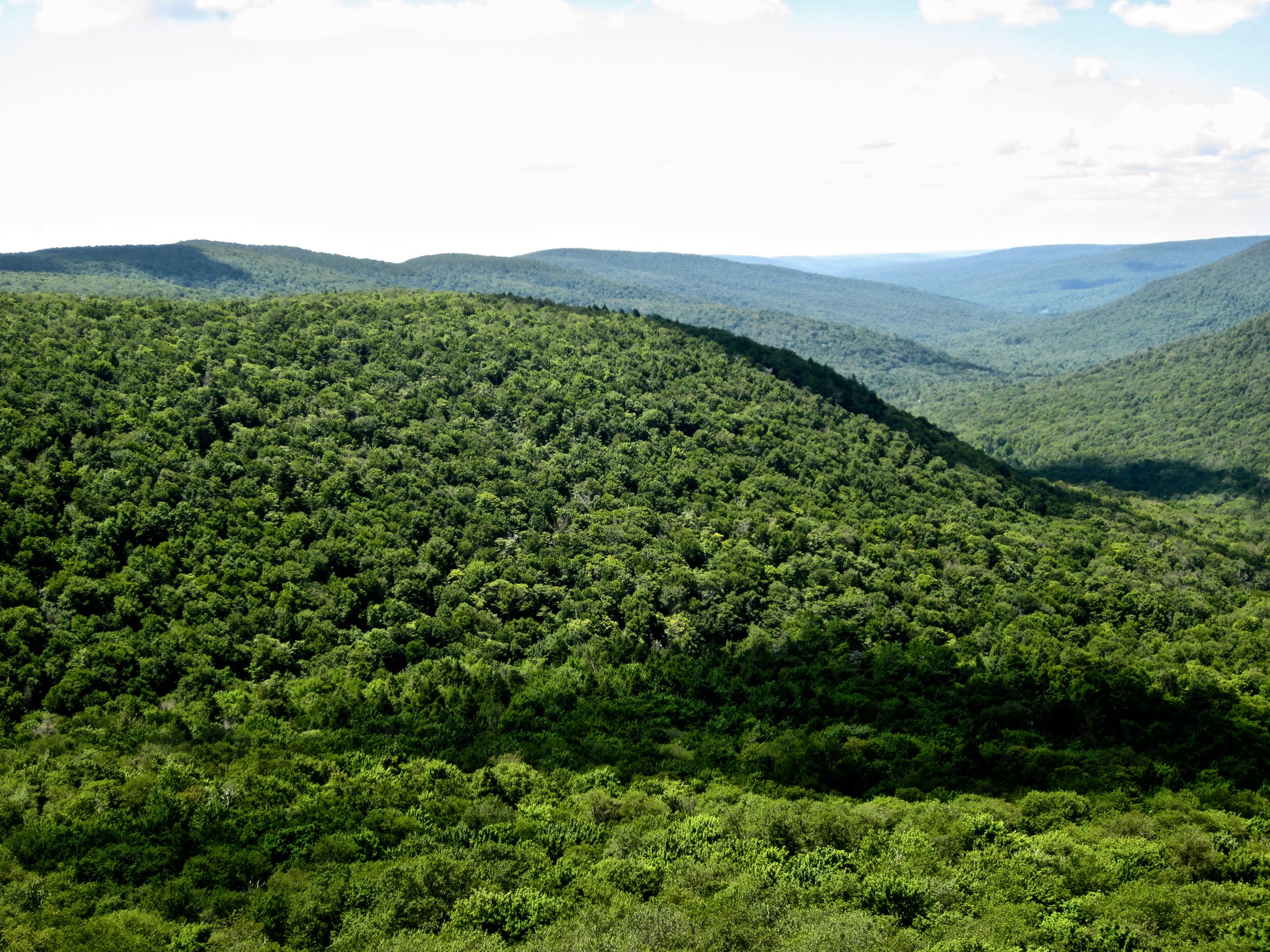 We'll meet at the Slide Mt parking area on CR47, beginning on the Slide Mt trail, then continuing toward the intersection at the Curtis-Ormsbee monument. From near the intersection we'll begin our bushwhack, over East Wildcat's sub-summits to the wooded main summit. The Wildcats form a long ridge rising to 3340', a Catskills Hundred Highest peak.Event Duration: 6 miles, 7 hoursLevel of Difficulty: Moderate-Difficult, BushwhackLeader(s): Alan ViaBring: Good hiking shoes, lunch, snacks, bug spray, plenty to drink, map and compass (recommended). Dress in layered moisture wicking clothing for your comfort. Remember temps are cooler with increasing elevations and showers can arise without warning.Registration required by June 10th. Register by contacting the leader. See below.Group size is limited to 8, so register early.Dogs allowed: Yes, only with permission of event leaderAdditional Information: Rainy weather will postpone this event.Registration and Questions about this event can be directed to: hikeleaderAV@catskillmountainclub.orgNOTE: Please contact the leader if you need to cancel your plans.Driving Directions: Meet at the Slide Mountain Parking Area on Oliverea-Frost Valley Rd. (CR 47). From SR 28 in Big Indian turn south onto Oliverea Rd. (becomes Frost Valley Rd.) and proceed about 10 miles to the Slide Mtn. P.A. (It will be past the hairpin turn at the Giant Ledge P.A.)From SR 55 west of Grahamsville turn north onto Claryville Rd. (CR19) and proceed 4.6 miles to Frost Valley Rd. in Claryville. Turn north and proceed 10.6 miles to the Slide Mtn. P.A. (It will be past the Biscuit Brook P.A.)
GPS coordinates: 42°00'29.1"N 74°25'41.8"W: 42.008080, -74.428263