
Hiking the Bluelines: An Exploration of Woodland Creek’s Headwaters | Saturday, September 15, 8:00 AM
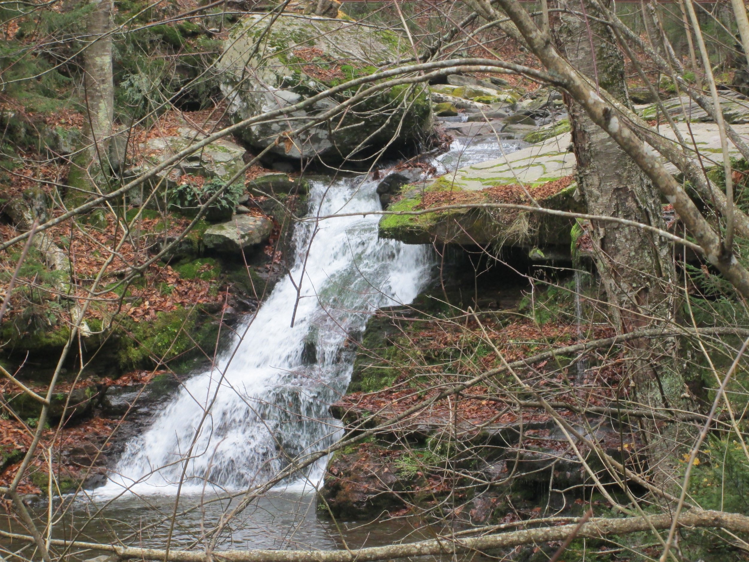 This is a series of nine hikes sponsored by the Catskill Mountain Club (CMC) and led by Team Danger Girl (TDG), a Catskill Mountain-based hiking group. Join members of TDG for a scientific and exploratory engagement with Catskill mountain streams. Dorcinda Knauth and Dany Davis will lead this series of off trail explorations. Dany is a geologist with 17 years of experience studying Catskill Mountain streams and will lead the scientific part of these explorations. Other environmental scientists may join some of the hikes. The theme of these hikes can be along the lines of the saying “the journey is the destination”. In other words, the purpose of these hikes is not to put peaks in a collection bag, so the summit is not the ultimate destination. Instead, the hikes will focus on landscape interpretation, exploring wild sections of popular mountains by following the paths of streams, collecting data for a regional Catskill streams study, and maybe getting to the top of a mountain on some of the hikes.There will be two categories of hikes: off trail adventurous explorations and trail-side family friendly engagements with streams. Both categories will include plenty of time sharing observations of the stream channel, ecosystem and riparian environment. We will stop often for discussions on the role of streams in the mountains, collecting some data on the stream’s shape and condition, as well as sharing lessons in landscape interpretation.The family friendly hikes will focus on hands-on engagement in studying a stream at specific stream locations, walking the stream channel corridor to observe changes (expect to get wet) and encourage hikers to appreciate the role of streams in the Catskill environment. If children join, it would be best for the children to be school age and capable of hiking a couple of miles. These hikes will be limited to 10 participants plus the hike leaders (maximum group size is 12-14 depending on the hike).The adventurous off trail explorations will be stream corridor bushwhacks up/down wild Catskill mountain terrain with some trail hiking. Science will be a central part of these hikes and there may be more stream data collection than in the family friendly hikes. The hikes are rated “Most Difficult” due to the variability of the headwater stream terrain, hiking in steep boulder streams, plenty of downed trees, and the ever present unknown one encounters when heading up/down a steep mountain drainage. Each of these hikes will have a mountain summit destination in mind; however, the science and exploration is the primary goal. Conditions may preclude getting to the top of the mountain. The hikes will be limited to 6-8 people plus the hike leaders (no more than 8-10 hikers total). Please note: your hike leaders will not have previously hiked some of these routes so obstacles to forward progress are unknown for some of these hikes – that is part of the adventure. Each hiker will need to consider themselves expert in off trail hiking in mountains. Footwear should be capable of hiking in and out of water (no sandals!).An exploration of Woodland Creek’s headwaters TBD. Rating: Most Difficult. Meeting Place: Woodland Valley Campground PA. The plan will be to bushwhack across the base of the Wittenberg along NYS land to the headwater reaches of Woodland Creek. From there, the assembled group will pick a route up any of the several branches of Woodland Creek, potentially ascending Slide, Cornell or Wittenberg; or just turning around and heading back to the PA. Be prepared for biting insects, stinging nettles, loose rocks and other stream scrambling hazards, thick forest, cliffy bits and Catskill yetis. Total Distance: ~7-12 miles.Event Duration: 7-12 miles, 11 hoursLevel of Difficulty: Most Difficult, BushwhackLeader(s): Team Danger GirlBring: lunch, snacks, beverages (2-3 qts).; boots and clothes suitable for bush and stream whacking; optional shoes for walking in streams; headlamp (recommended)/flashlight, bug protection/repellant.Registration required by September 13. Register by contacting the leader. See below.Group size is limited to 8, so register early.Dogs allowed: No.Questions about this event can be directed to: Dany Davis at wddavis2@gmail.comDriving Directions: Meeting Place: Woodland Valley Campground PA.From SR 28 in Phoenicia, go west to Woodland Valley Rd and turn south. Cross the Esopus Creek bridge and turn right. Go 5 miles to the parking area. Be sure to pay the day use fee at the DEC office.