
Southern Plattekill and Round Top | CANCELLED
 South Plattekill and Round Top are two of the Catskills 100 highest - just over 3000ft. There is an old road that circles just below these two peaks (we may or may not actually summit either of them). North Plattekill - the ski area - is also accessable from this road. we plan to spot a car and do a 5 or 6 mile circle. There may be some bushwhacking.Event Duration: 5 miles, 5-6 hoursLevel of Difficulty: ModerateLeaders: Jeff Ditchek and John ExterBring: good hiking shoes, lunch, snacks, bug spray, plenty to drinkRegistration required by July 17. Register by contacting the leader. See below.Group size is limited to 12, so register early.Dogs allowed: NoQuestions about this event can be directed to: Jeff Ditchek at jiditchek@gmail.comDriving Directions: Meet at the state forest parking area near the end of Harold Roberts Road in New Kingston. We may spot a car at the end of Mountain Brook Road in Bovina, or bushwhack back to our starting place.From SR 28 in Margaretville, turn north onto Bridge St. At the light, turn west one block to Walnut St. and continue onto Margaretville Mountain Road, following it to its end. Turn north onto CR 6 towards New Kingston. In New Kingston turn northeast onto Thompson Hollow Road. Drive 3.7 miles to Harold Roberts Rd. and continue on Harold Roberts Rd. to the state DEC parking area on the right.From SR 28 in Andes, turn north onto CR 6 and follow the above directions.
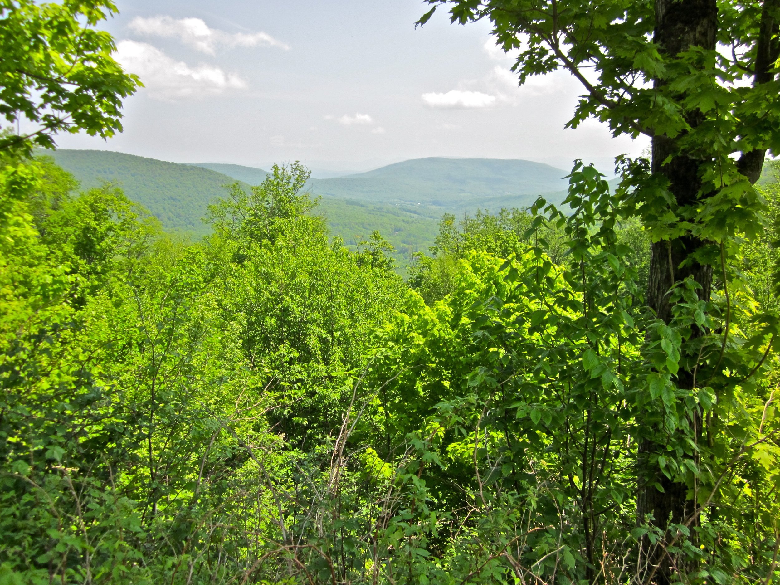