
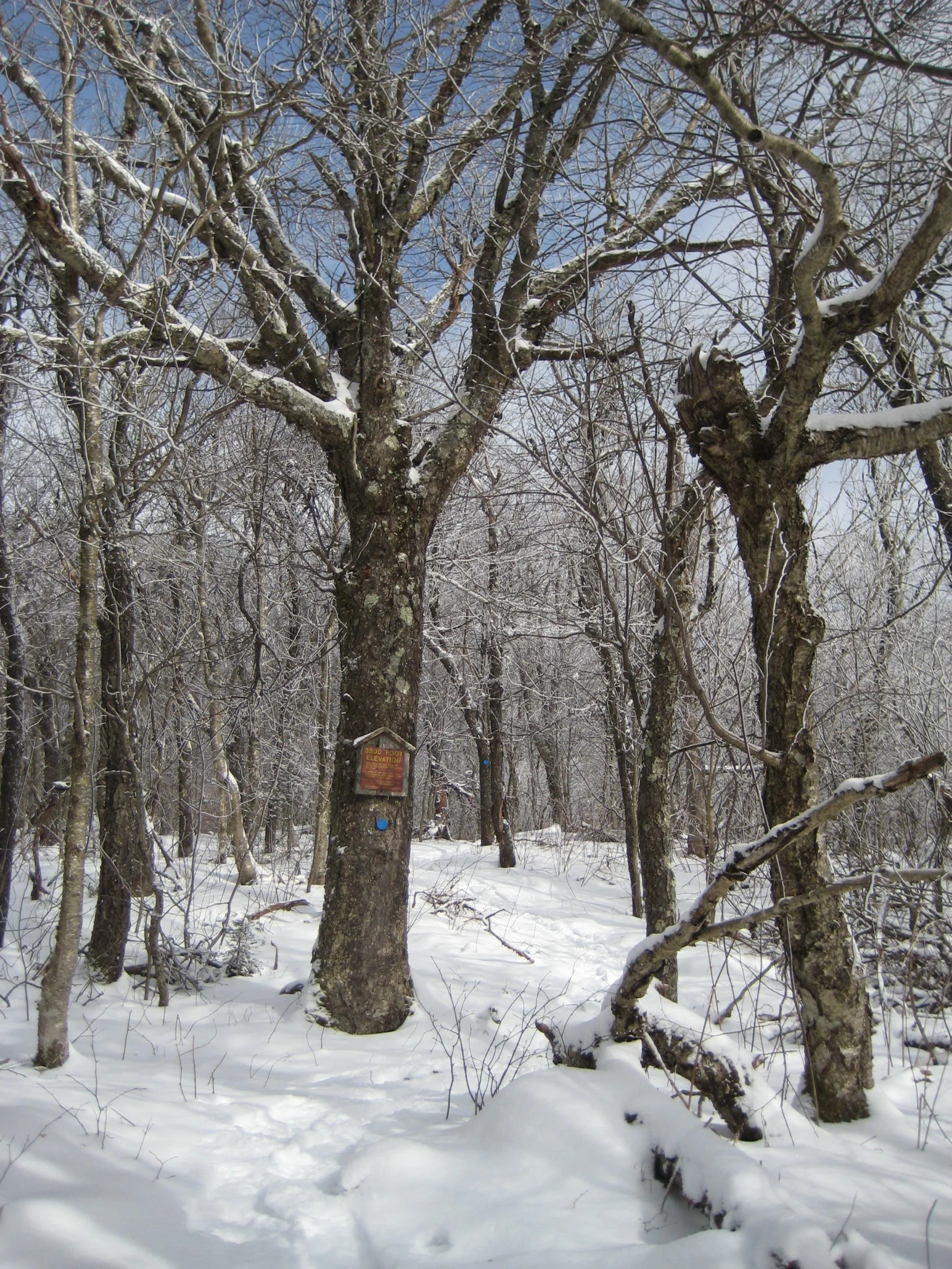
Hike in the New Year by joining CMC for this 5.2-mile loop hike to the 3600’ summit. With an elevation gain of 1600’, this hike is rated moderate-difficult. We will move at a moderate pace – about 1.5 mph and take a longer break at the top where there is an open view to the east. The outing is expected to last 4.5 hours. We will ascend the Mine Hollow Trail and return via the Oliverea-Mapledale Trail.
Hikers need to bring lunch/ snacks, water/ drink, proper winter layers and outerwear, cold-weather boots, gaiters, microspikes, snowshoes, and hiking poles (if desired). This hike is limited to 12 people, and registration is required by December 30. To register, contact Peter Manning at Peter@catskillmountainclub.org Please note, dogs are not permitted on this hike. Severe weather or trail conditions will postpone or cancel the hike.
Meet at the Rider Hollow Trailhead at 9am.
Driving directions: To reach the Rider Hollow Trailhead from the east, take State Route 28 39 miles west from the traffic circle at Exit 19 (Kingston) of the NYS Thruway to Galli Curci Road at Highmount and turn left. (This is the same turn for the Belleayre Ski Center.) Proceed 4.95 miles on Galli Curci Road (Ulster Co. Hwy 49A) (becomes Todd Mtn. Rd.) and turn left onto Rider Hollow Road. Continue to the end of the road (2.1 mi.) to the trailhead.
From the west, take State Route 28 to Dry Brook Road (1.2 miles east of Margaretville) and turn right, following the signs for Dry Brook Ridge. Take Dry Brook Rd. 4.7 miles and turn left (following signs for Rider Hollow) onto Todd Mountain Road. Continue less than a half mile and turn right onto Rider Hollow Rd. Continue 2.1 miles to the end of the road/ trailhead.
GPS Coordinates for Rider Hollow Trailhead: 42.10201, -74.51694
Google Maps Link: https://maps.app.goo.gl/imXo6WHnQLoGd1iDA