
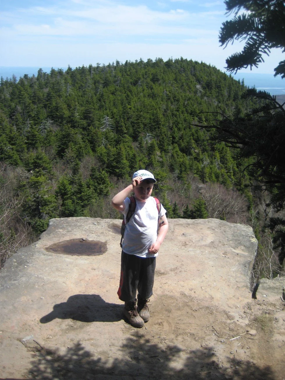
This scenic and challenging 8.5-mile hike will reach two high peaks along the Devils Path Range. Rated as difficult and expected to take six-to-eight hours, this hike is limited to 12 people and registration is required. To register, contact Al Purdy at Albertpurdy1@aol.com or (845) 514-0919 by August 14.
Participants need to bring lunch/ snacks, plenty of water, sports drink, insect and sun protection, sturdy hiking shoes, poles (recommended), and a head lamp (just in case). Please note: dogs are not permitted on this hike; and, poor weather conditions may postpone the hike.
We will meet, ready to hike, at 8am at the Prediger Road Trailhead.
Driving directions: To reach the trailhead from State Route 23A westbound, enter Tannersville, bear left on South Main St., stay left on Spruce (becomes Platte Clove Rd.) and at 1.5 miles stay left on Platte Clove Road and continue another 4.2 miles. Turn right on Prediger Road, following the signs for forest preserve parking near the end of the road.
From Route 23A eastbound, take a right on Bloomer Road (.6 miles after the 23A/ 214 jnctn). Just after a mile stay to the right at the yield signs and onto Platte Clove Road (Co. Hwy. 16). Continue 4.3 miles and turn right on Prediger Road, following the signs for forest preserve parking near the end of the road.
From State Route 212 west of Saugerties, turn north at Centerville onto Blue Mountain Road. Take this road1.45 miles, turn left onto West Saugerties Rd. Continue through West Saugerties (less than two miles) and the road will pitch sharply upward. Continue to the top of this mountain pass. Turn left on Prediger Road, which is 5.2 miles from the beginning of West Saugerties Road. Follow the signs for forest preserve parking near the end of the road.
GPS Coordinates to Prediger Road Trailhead: 42.13397, -74.10435
Google Maps link to Prediger Road Trailhead: https://maps.app.goo.gl/NSeYvy881vdzc3nZ9