
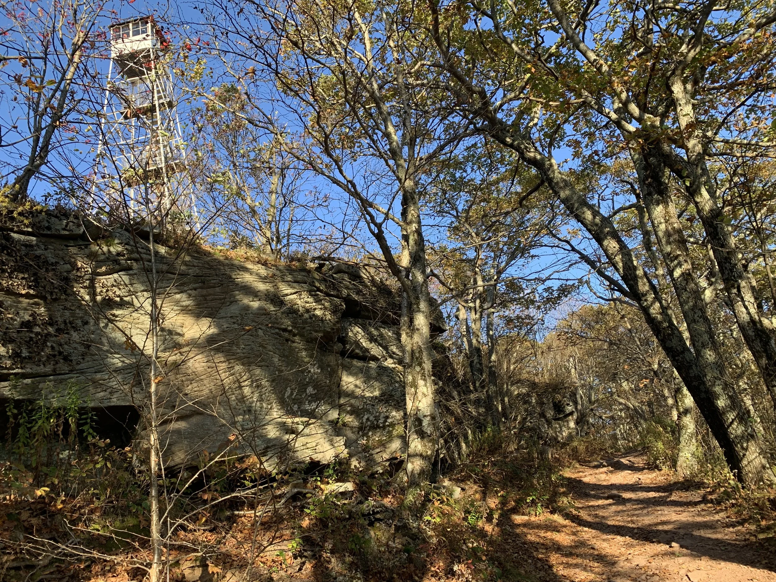
In addition to reaching the summit (and fire tower), this adventure will include the newer spur trails near Meads Meadow for those keeping track of completing the Catskills All Trails Challenge. With 6.7 overall mileage, this hike as is rated as moderate-to-difficult and is expected to last five hours.
Hikers need to bring lunch/ snacks, water/ drink, warm layers, proper outerwear, sturdy boots, gaiters, micro-spikes, snowshoes, and hiking poles (recommended). This hike is limited to 12 people, and registration is required by December 29. To register, contact Al Purdy at Albertpurdy1@aol.com or (845) 514-0919. Please note: dogs are not permitted on this hike; forecasted severe weather will postpone the hike; be prepared for unpredictable travel and trail conditions.
Directions to the meeting location (Meads Mountain Parking Area):
From the junction of Tinker Street (State Route 212) and Rock City Road in the center of the village of Woodstock, take Rock City Road north for .60 miles to an all-way stop sign. Continue across the intersection and this becomes Meads Mountain Road. Take Meads Mtn Rd 2.5 miles up and over (past the Overlook Parking Area/ Trailhead at the top/name changes to McDaniel Rd) until you see the Meads Meadow Parking Area on your right, about 0.5 mi. from the Overlook Trailhead.
GPS Coordinates: 42.07561, -74.12772
Google Map Link: https://maps.app.goo.gl/WXvFr9G2LBwMdZ3S7