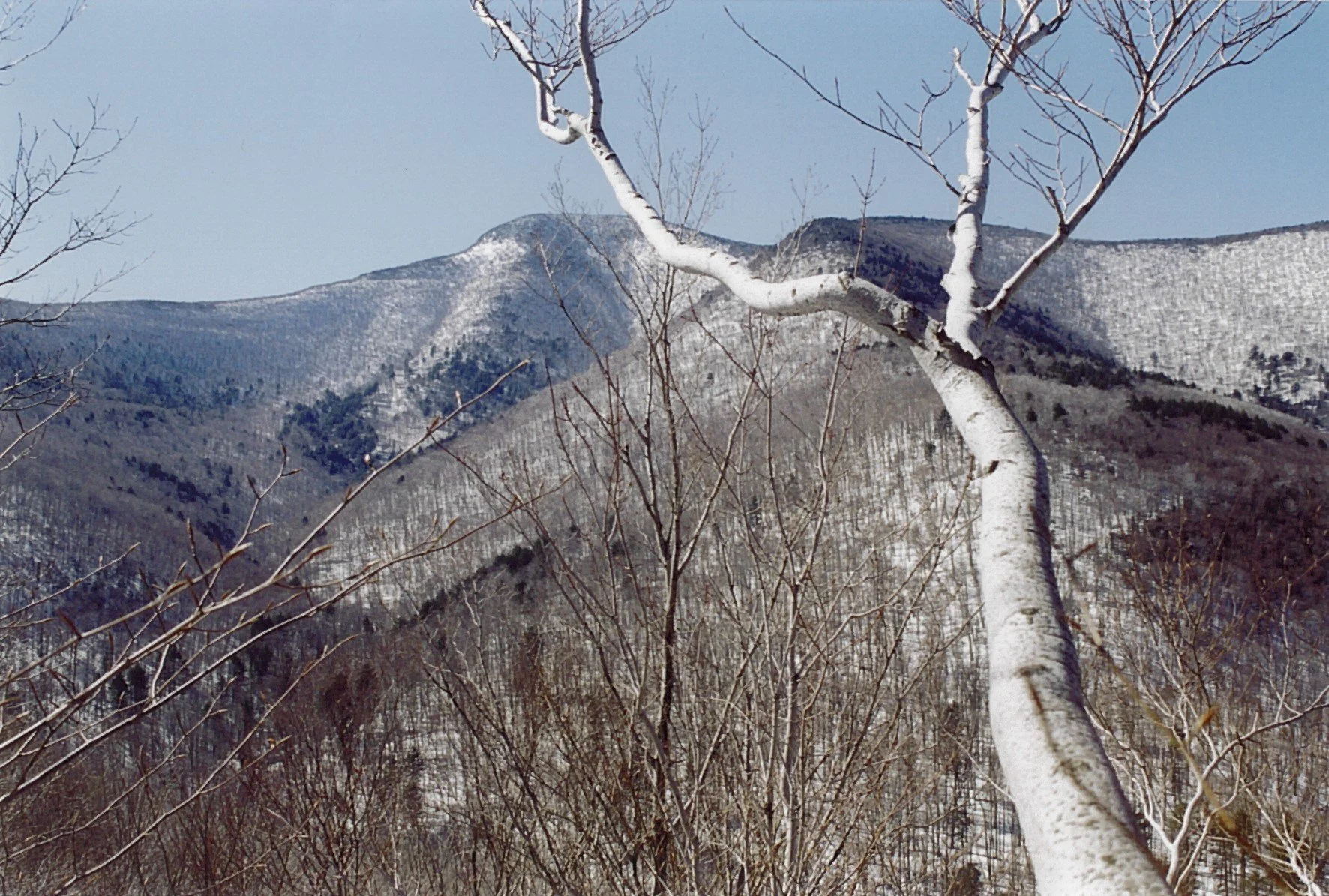
Slide Mountain from Denning Road
This hike to the range’s highest peak will take the round-trip route from the Denning Trailhead. At 10.7 miles and an expected duration of eight hours, this outing is rated as difficult. Participants need to bring lunch/ snacks, water/ drink, proper outer wear, warm layers and boots, gaiters, micro-spikes, snowshoes, headlamp, gaiters, and hiking poles.
This hike is limited to 12 people, and registration is required by December 26. To register, contact Al Purdy at Albertpurdy1@aol.com or (845) 514-0919. Please note: dogs are not permitted on this hike; trail conditions can alter the route and pace/ overall duration of the hike; severe weather will postpone the hike; and be prepared for unpredictable travel and trail conditions.
Directions: From State Route 28 at Big Indian, take Ulster County Highway 47 south for 20.6 miles (becomes Sul. Co. Hwy 157) to the stop sign near Claryville. Turn left onto Denning Road and proceed 7.9 miles to the end of the road and see the trailhead.
From State Route 55 just west of Grahamsville, take the Claryville Road (Sul. Co. Hwy 19) through for 12.5 miles (passing through Claryville) to the end of the road and see the trailhead.
GPS Coordinates for the Denning Trailhead: 41.96554, -74.45252
Google Maps Link: https://maps.app.goo.gl/ABAD8bgcJZXiUnMo8

